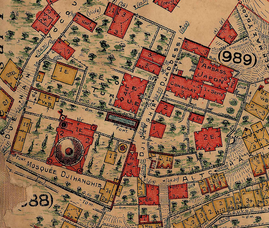
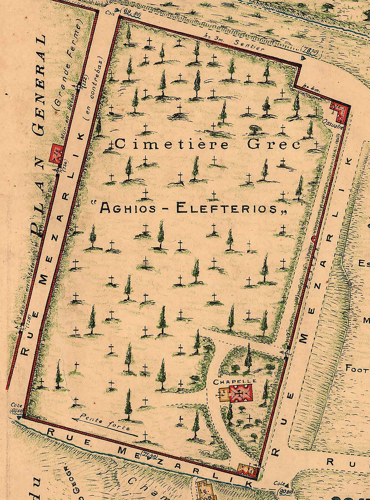
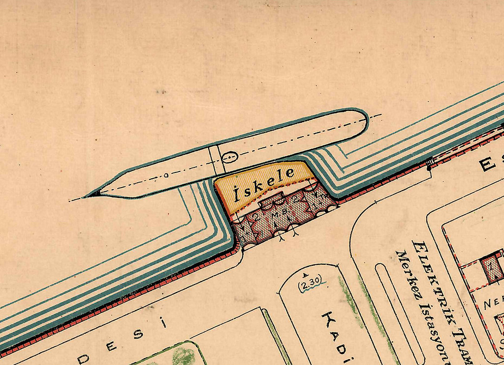
We are hardly the first to get excited about the Jacques Pervititch insurance maps, drafted over 25 years between 1921 and 1946. All of them appeared in a book by the Tarih Vakfi, and can be viewed in different ways online. But while these books and sites are all great for getting an overview of Istanbul in the early Republican period, (and learning about fire risk in different neighborhoods) their scale hardly does justice to the beautiful detail with which individual buildings were drawn. In addition to the Taksim barracks - torn down in the forties and apparently slated to be rebuilt - we've posted some other highlights from the series including the Kadikoy Iskelesi, the Ortakoy Mosque, the Cihangir Mosque, and the Orthodox Cemetery in Kurtulus. Its hard to look at these maps and not hope that someone gets around to using the images to create a 1920s Istanbul version of Sim City - one where users could experience all the fun of being R. T. Erdogan by redesigning the city according to their whims. A mosque for Camlica? Why not put two Sultanahmet Camiis there, with the Ortakoy Mosque next to them in an artificial lake for good measure.
|
|

|
|