


Chris Gratien, Georgetown University
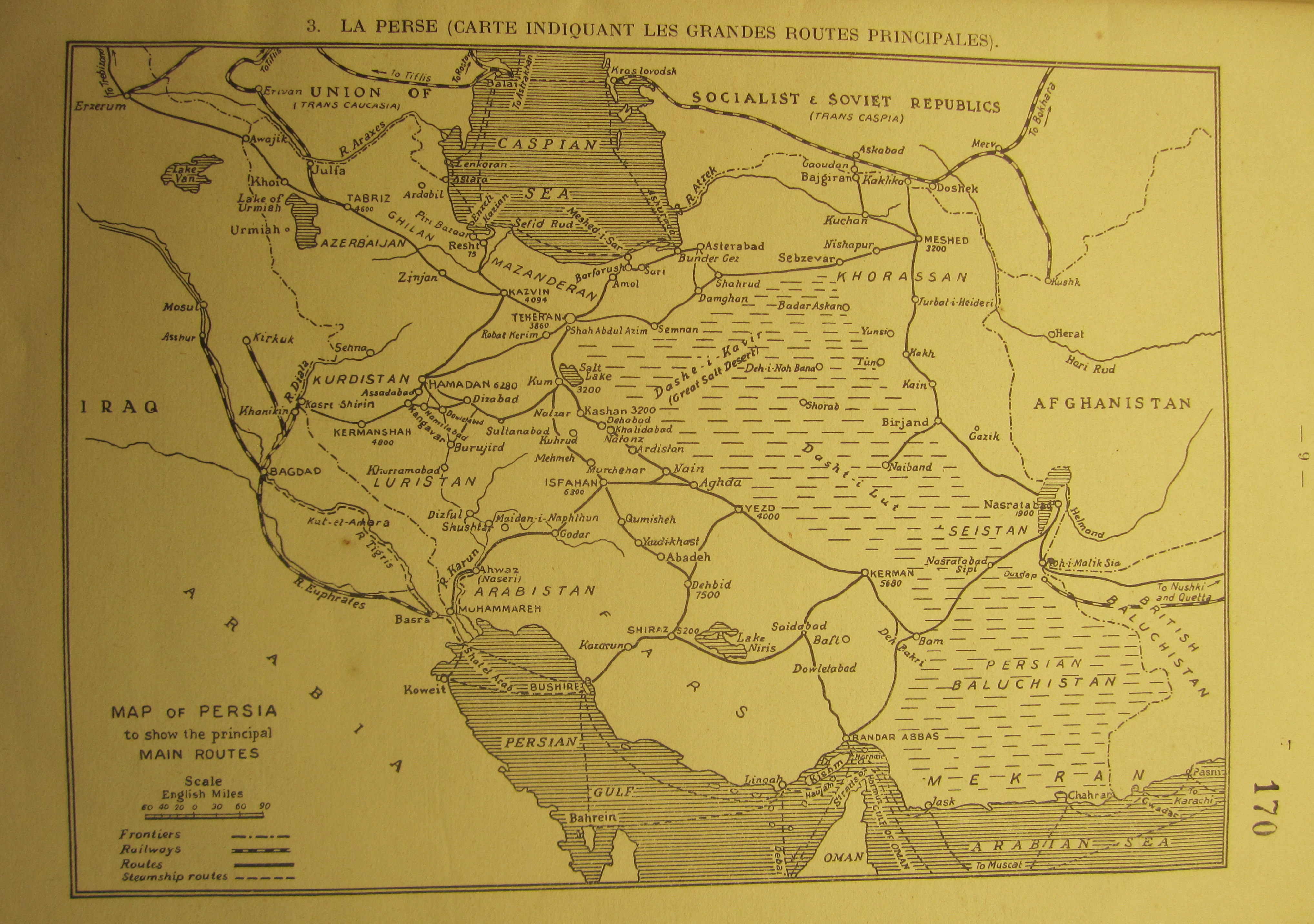 |
| click here for full-sized image |
This map of the roads and railways of Iran from 1926 gives us a fantastic view of how cities and towns of the country were linked under the newly established Pahlavi state. However, it is not just the map but also the context within which is was found that draws our interest here. The map is part of an extended study by the League of Nations on the issue of opium production in Persia, which was both a major producer of poppies as well as a transit point for opium coming from the East. It was created at a time when the drug trade was becoming one of the major global "social issues (questions sociales)" addressed by the new organization. Of course, there is no guarantee that opium smugglers would stick to these routes, but the map gives some sense of the possible transit points for overland trade in the region.
Source: MAE, SDN/IM, No. 1640 - Opium en Perse