Sunday, August 11, 2013

Some beautiful 1980s maps from Bulgaria

Nick Danforth, Georgetown University
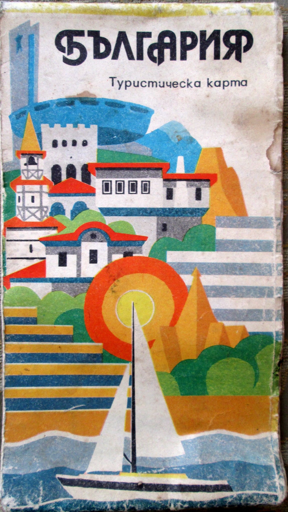

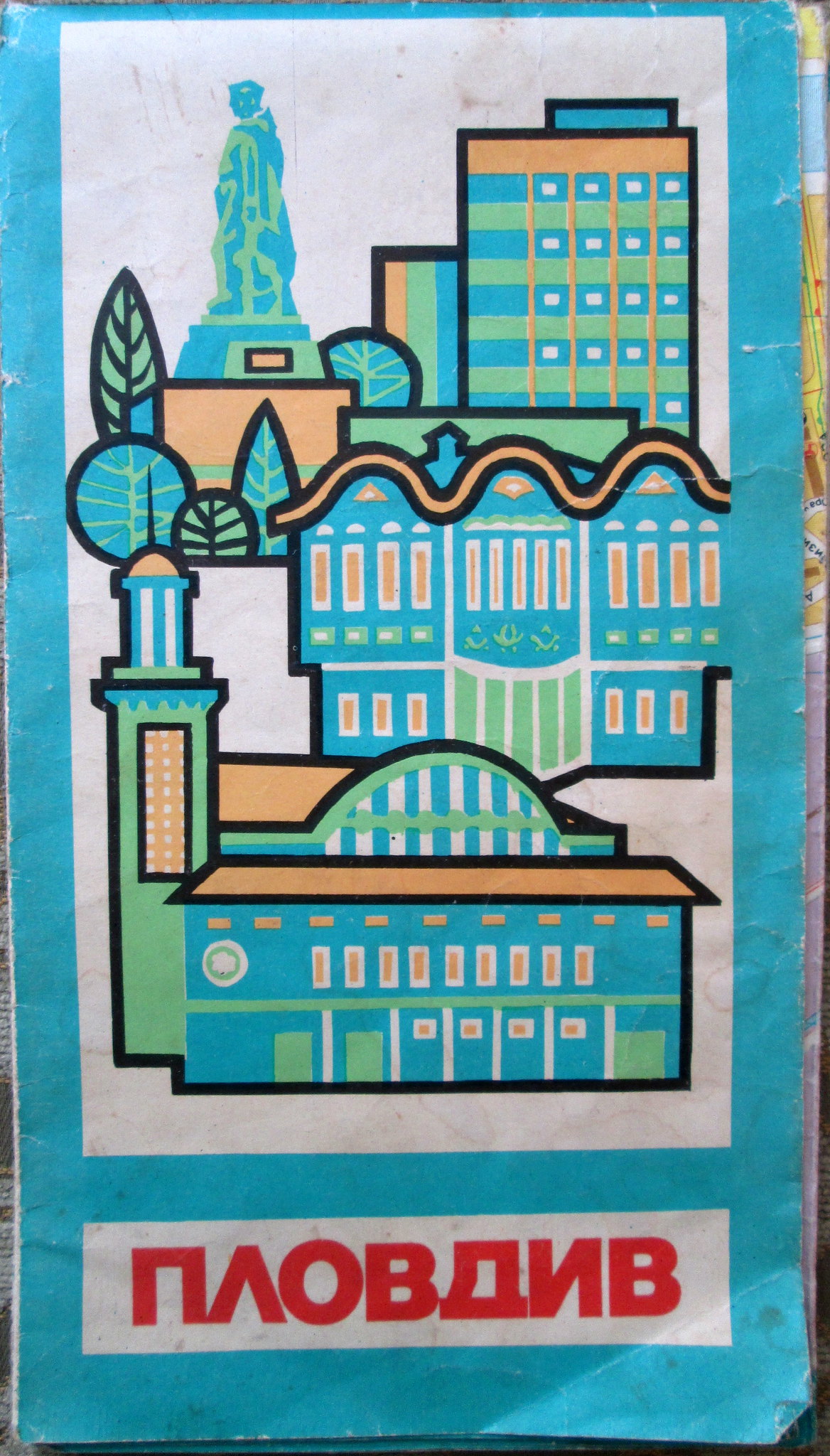
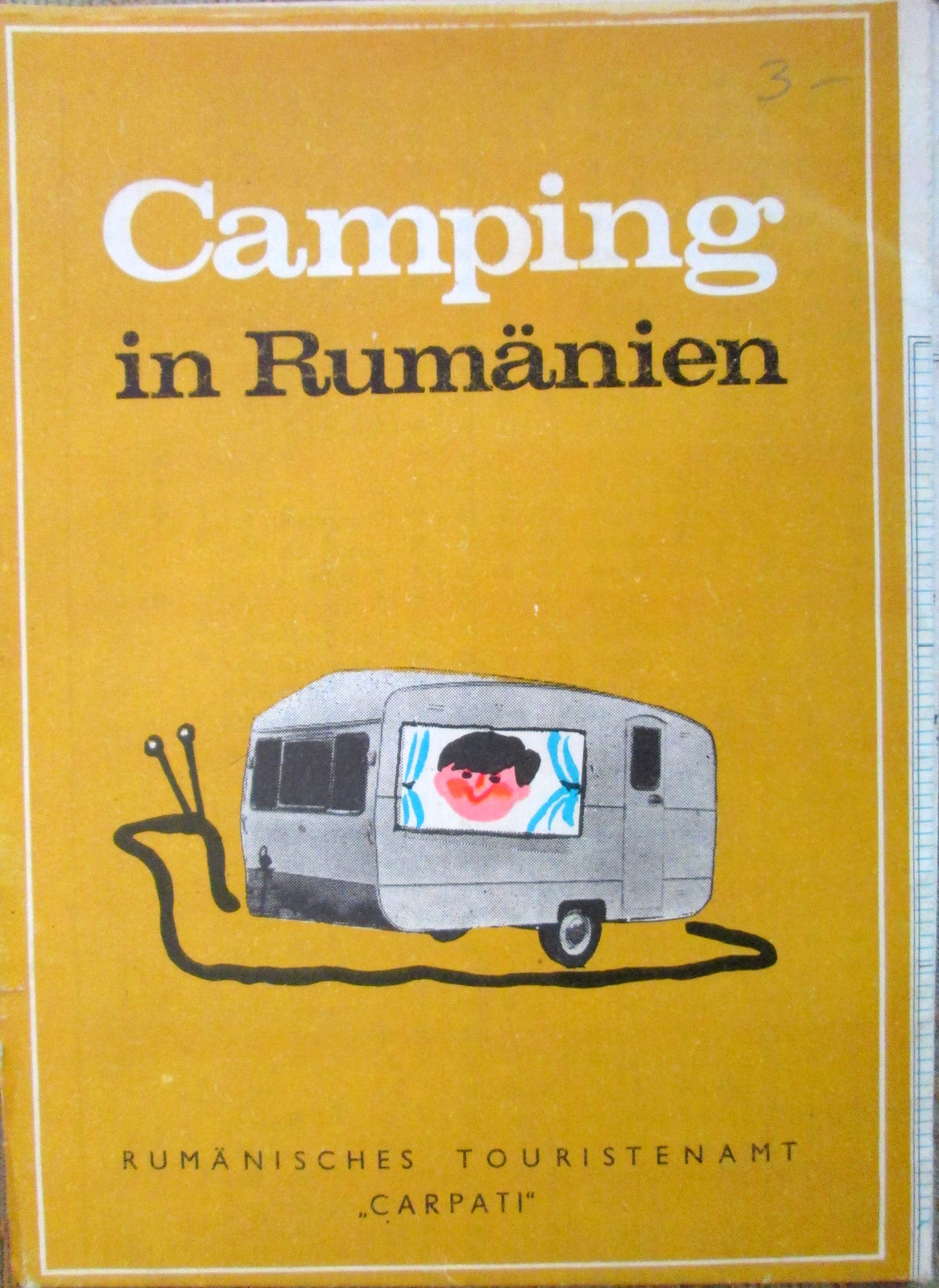
The second installment of Afternoon Map's Bulgaria week, this time featuring some amazing 1980s imagery. The first four images are covers of tourist maps from the era, about which we have little to say other than that they really are amazing. The map cover on the left shows the full range of attractions available in Bulgaria, from sailing on the Black Sea to visiting quaint Ottoman-era houses to seeing the giant Communist monument at Buzluca. By Car Through Bulgaria includes useful information for the traveler, including the fact that a 12% reduction is granted to those who buy gasoline scrips in hard currency (these can be obtained at the frontier checkpoints, at the Central Council of the Bulgarian Automobile and Touring Club and at the Balkantourist offices in larger towns and resorts). Also free medical care is given in all emergency cases until the patient's life is out of danger. The next image is of the city of Plovdiv, as pleasant a place now as it appears on the map cover. Finally, a German map of Romania from the same era, for East German citizens looking for a camping vacation in one of the nearby countries they were allowed to travel to.

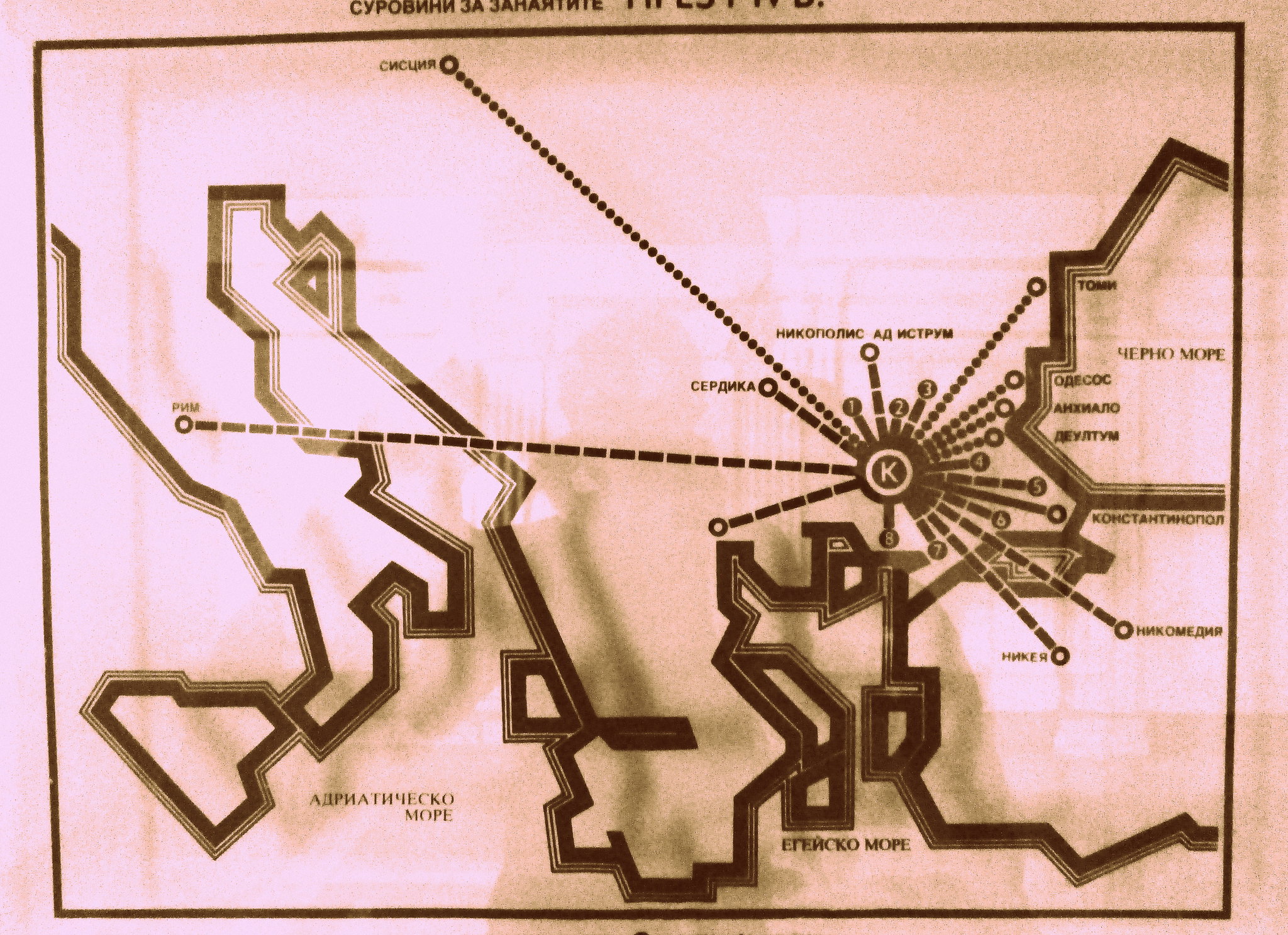
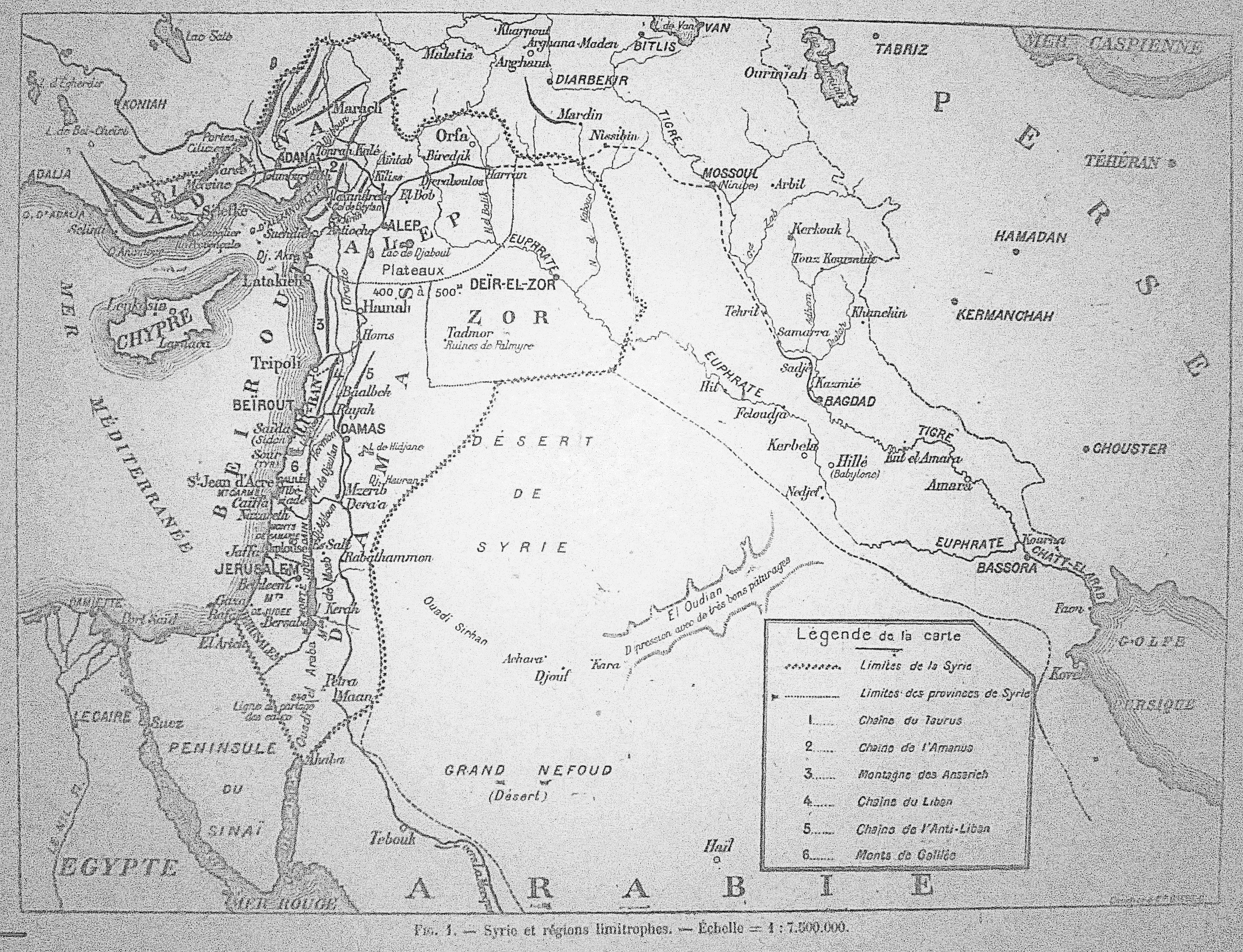
This next pair of maps are from the regional history museum in the city of Kardjali, housed in a building originally designed in the 1930s to be Bulgaria's main madrasa. They seem to show something about the spread of Thracian cultural influence in the ancient world, but we're showing them here for their elegantly square rendering of the Eastern Mediterranean region.


Finally, it's impossible to write about 1980s Bulgarian maps without including another photo from the Karacali museum of the two most impressive looking explorers I've ever seen: Kaptan Georgi Georgiev and Kosmonaut Georgi Ivanov, 1979. As best I could tell, Georgiev (left) circumnavigated the globe on his yacht. Ivanov, of course, was "launched into space as part of the Soyuz 33 mission from Baikonur Cosmodrome on April 10, 1979, at 17:34 (GMT).Though take-off was smooth, the mission was a disaster, with severe damage of the engine preventing docking in orbit to Salyut 6 orbital station as it was initially planned. A premature return to Earth became the only possible decision for Ivanov and Rukavishnikov. Due to some additional technical problems landing was difficult to endure-more than 9Gs. When Soyuz 33 finally landed, it was 320 km southeast of Dzhezkazgan. It completed 31 orbits, and was in space for 1 day, 23 hours and 1 minute."

Saturday, August 10, 2013

Safely Evacuating Ottoman Era Structures


Today's post is a tribute to the Bulgarian Fire Marshall, who has provided remarkablay detailed instructions for evacuating a number of historic buildings, including an Ottoman House (above), a Tower (below left), and an Orthodox Church (below right). Basically if you're behind the iconostasis, use the side door, otherwise exit from the nave.

Istanbul Food Map

Nick Danforth, Georgetown University

                View Istanbul Food Map at full size

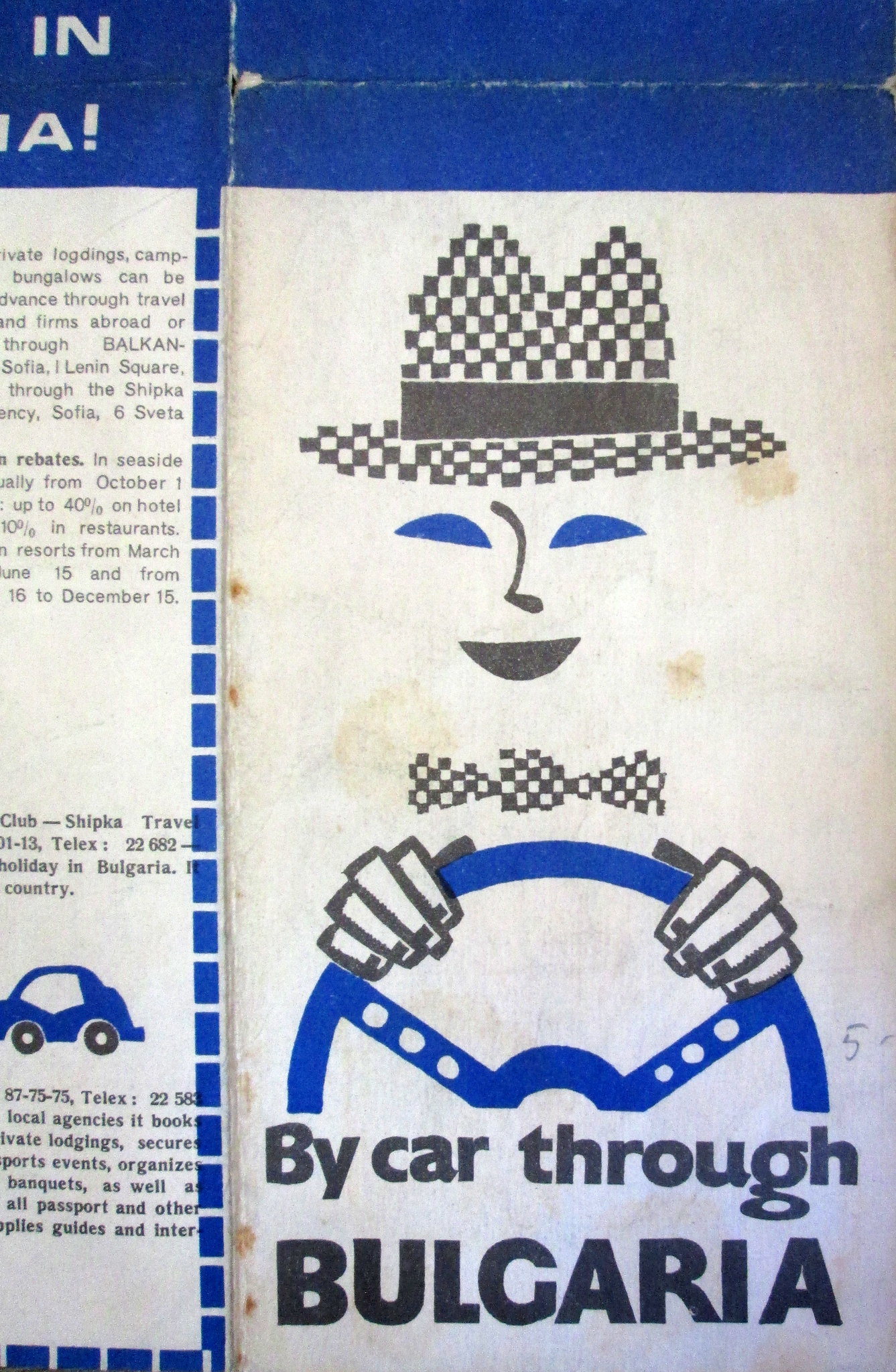
To celebrate the end of Ramadan and the beginning of the fall eating season (August 15-October 31st), we are posting our official Istanbul Food Map. Developed after much arguing with collaborators (thanks go to to Irina Levin, Chris Trapani and H.G. Masters), this map shows some of the best places to eat some of the best foods in the city, as well a bunch of others. I realize many visitors to this site are either natives of the city themselves or longtime residents, who will have their own strong, quite possibly more qualified, opinions on these issues. Everyone is free to disagree (except about lades, which really is unarguably the best menemen in the world), Consider this, at least, something to send to friends who email asking for recommendations about where to go and what to eat in Istanbul. As a recent New York Times article on "food sherpas" revealed, many people are apparently incapable of doing something as basic as eating on their own without some kind of pseudo-professional advice. While I have aways enjoyed Istanbul Eats, I am troubled by the idea that a visitor searching for, say, good kokoreç would be better off having the site's advice instead of simply the good sense to stop when they saw someone selling kokoreç.

In that spirit, many of the recommendations on this map are arbitrary, outdated, or downright inaccurate. Is their any reason to go the Üsküdar for çiğ köfte? of course not. it tastes the same at chains around the city. But why not? likewise, Haci Baba's was replaced by some Antakya medeniyet sofrasi years ago, as part of a regrettable trend of mediocre restaurants trying to capitalize on Antakya's hard-earned reputation for excellent cuisine. Until they start making better hummus, this map won't recognize them. fınally Sinerji has never actually served Efes, but it also refuses to servee Bomonti, which is pretty much the best you can hope for now.

Anyways, if you or anyone you know is planning a trip to Istanbul, here are some places to consider.

Çiğ Köfte (Spice Bulgur Meatballs): These used to be made with raw meat, but are now, by law, entirely vegetarian. You can't tell the difference until the next morning when you realize you aren't sick

Efes (Beer, plus a certain percentage of water):  Sinerji Bar. Beer is ordered by size. Otuzluk for a small, ellilik for a large.

Iskender (Yogurt) Kebab / Beyti (wrapped) Kebab:  Cihangir Kebab Shop. You can get the 1.5 portion if you're worried about not having enough

Karnıyarık, Imam Bayıldı (Stuffed Eggplant): Haci Baba. Pretty much anything with eggplant here is great. [It also, as several people have pointed out, hasn't existed for a few years now. We're fielding suggestions for a replacement. Maybe Karakoy Lokantasi?]

Kokoreç (Lamb Intestine): Kadıköy Bazaar. Specifically, there's a place on the right as you're walking up to the bazaar that's good. The intestine is so well fried and spiced it hardly tastes like intestine anymore

Mantı (Turkish Ravioli): Kardeşim Lokantası. There's a lot of mediocre manti in the world. Kardeşim has some of the best in . The dried yogurt topping tastes just like parmasan cheese

Menemen (Turkish Omelet): Lades Khavaltı Salonu. Peynirli (with cheese), Sucuklu (with sausage), or Pastırmalı (with pastrami) recommended. The cream and honey plate is also, obviously, delicious

Midiye Dolma (Stuffed mussles): Kumkapı Neighborhood. Midiye Dolma were traditionally associated with the city's Armenian community. The Armenian patriarchate can still be visited near kumkapı.

Sahlep (warm, thick winter beverage): At Saray, you can sit outside and sip salep in the winter. Salep is unique: it's a sweet, thick creamy beverage made from flour ground from the roots of orchids, with lots of spices added in.

Tea: Istanbul Deniz Otobusleri Ferryboats. Everything is better on boats, including tea. In the winter, you can also get Sahlep, either on deck or from the boat cantina


Thursday, August 8, 2013

Kızıl Bayrak: Early Soviet Propaganda


Here we have an article the July 16, 1921 issue of the weekly periodical L'Europe Nouvelle, which was founded by Louise Weiss in 1918. The magazine focused on political developments in Europe and particularly the new political order emerging under the League of Nations. This particular issue was found in a box in the French National Archives (310AP/95) along with other newspaper clippings dealing with issues related to French interests in the former Ottoman Empire.

The above image is an example of Soviet propaganda from the Turkic regions of the Soviet Union encouraging Turkish-speaking citizens to join with the newly ascendant communists under the banner of the "Red Flag (Qızıl Bayrağı)". More images from the article, including a map of Soviet factories (seen here in full size) can be found below.


Wednesday, August 7, 2013

French Visions of Greater Syria

Chris Gratien, Georgetown University


click here for full-sized version

The above map from May 1920 shows the geographical region of Syria as defined by French administration at the very beginning of the occupation of Syria, which lasted from approximately 1918 to 1946. It actually includes two separate definitions of Syria, a core region stretching from Adana, Marash, and Urfa in the north to the Sinai in the south, therefore including Lebanon and what would become the British Mandates of Palestine and Transjordan. The second geographic distinction of the "provinces of Syria" includes the Syrian desert. This imagining of Greater Syria by French administrators would eventually be scaled back as both Jordan and Palestine became British territories, the occupation of the Adana region ended in 1921, and later the area around Iskenderun and Antakya (modern-day Hatay) was ceded to Turkey in 1939.

Source: MAE, Série E (Levant) 61, brochures, no. 1

Tuesday, August 6, 2013

English America

High resolution available here

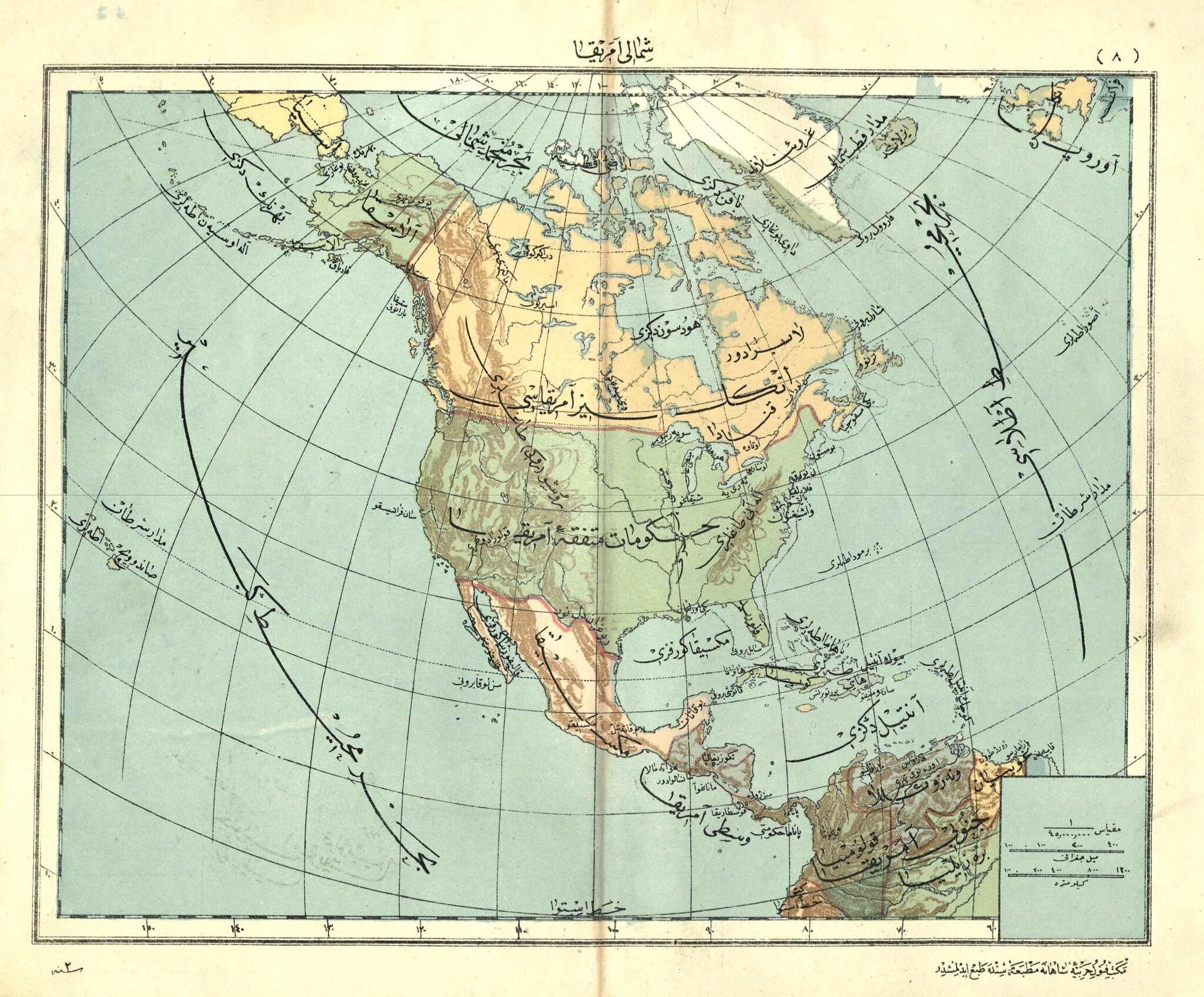
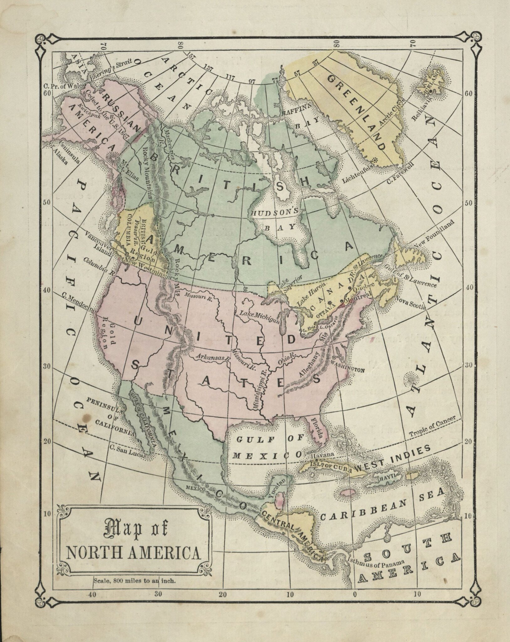
I found this map of North America in a antique store recently, and was going to post it simply because it looked nice and because it refers to Canada as "English America," which seems remarkably apt. Soon after, though, I found another map in a US geography textbook [below left] showing a similar division. To figure out what was going on I asked fellow SOAS alum, citizen of the world and lifelong Canadian Laura Clinton. She provided the following guest post, which represents our blog's first serious foray into Canadian history. Ottomanists, meanwhile, are invited to comment on why Turkish consistently uses England/English instead of Britain/British.

"At first glance, a map depicting “British America” might seem confusing. One’s immediate reaction might be to write-off this cartographic anomaly with the easy explanation that everything that lies east of the Pacific and west of the Atlantic is somehow classified as America in some capacity, whether it be North, Central, South, or even United States of.

"While this general assessment is true, it doesn’t explain the difference between British America, and what looks like a hilariously diminutive Miniature Canada featuring the fledgling cities of Ottawa, Montreal and Quebec City in the same map. The crux of the real explanation is that, much like our southern neighbour[sic], modern-day Canada is a construct of several struggling and fragmented settler colonies unified over several wars and protracted negotiations which existed in various incarnations of statehood before resulting in the hockey-and-poutine-lovin’ country that we know and fear today.
"As every good Canadian citizen who didn’t fall asleep in Grade 7 History class knows, Canada was originally settled in the late 15th century by European fur traders looking for beaver pelts to make fancy hats from, and subsequently carved up into rudimentary colonies. The British claimed Newfoundland and modern-day Ontario, and the French settled the creatively-titled New France (now known as Quebec and the Maritime provinces). All the boring bits ranging from the Hudson’s Bay basin through to the west coast were amalgamated as a separate colony called Rupert’s Land. The colony was nominally owned by the Hudson’s Bay Company (which made its fortune in the fur trade), and named after the obviously narcissistic first Governor of the company, Prince Rupert of the Rhine. For the benefit the non-North American readers, the Hudson’s Bay Company was a government-like semiautonomous corporation-state, much like the British East India Company.

"New France was eventually ceded to Britain in all its stinky cheese and maple syrup glory soon after the conclusion of the French and Indian War (otherwise known as the North American extension of the Seven Years War), more commonly referred to as the Anglo-French Rivalry in Canada because we don’t like words that make us feel funny inside. Notably, an undeniable consequence of the Anglo-French Rivalry was the depletion of British resources which aided succession efforts during the American Revolutionary War (so you’re welcome ‘Murica!). In 1791, the colonies were united in two separate provinces: Upper Canada (English) and Lower Canada (French) roughly based on their geographic position along the basin of the St Lawrence River. The provinces were subsequently merged into the Province of Canada following the Act of Union in 1841, which is what is illustrated in this map above, as are the separate colonies of British America (in this instance, Rupert’s Land) and British Columbia. This brief period came to an end after the signing of the British North American (BNA) Act in 1867, an occasion widely regarded as the founding of modern Canada as we know it today, which re-fragmented the Province of Canada into its pre-1841 states, namely: Lower Canada (renamed Quebec), Upper Canada (renamed Ontario), New Brunswick and Nova Scotia. Subsequently, the British American colony of Rupert’s Land was annexed to Canada as the North West Territories in 1869, and the west coast colony of British Columbia joined the Canadian confederation in 1871.

*No beavers where harmed in the making of this blog post, but sadly not in the founding of Canada."

Monday, August 5, 2013

Hicaz Railway Ticket


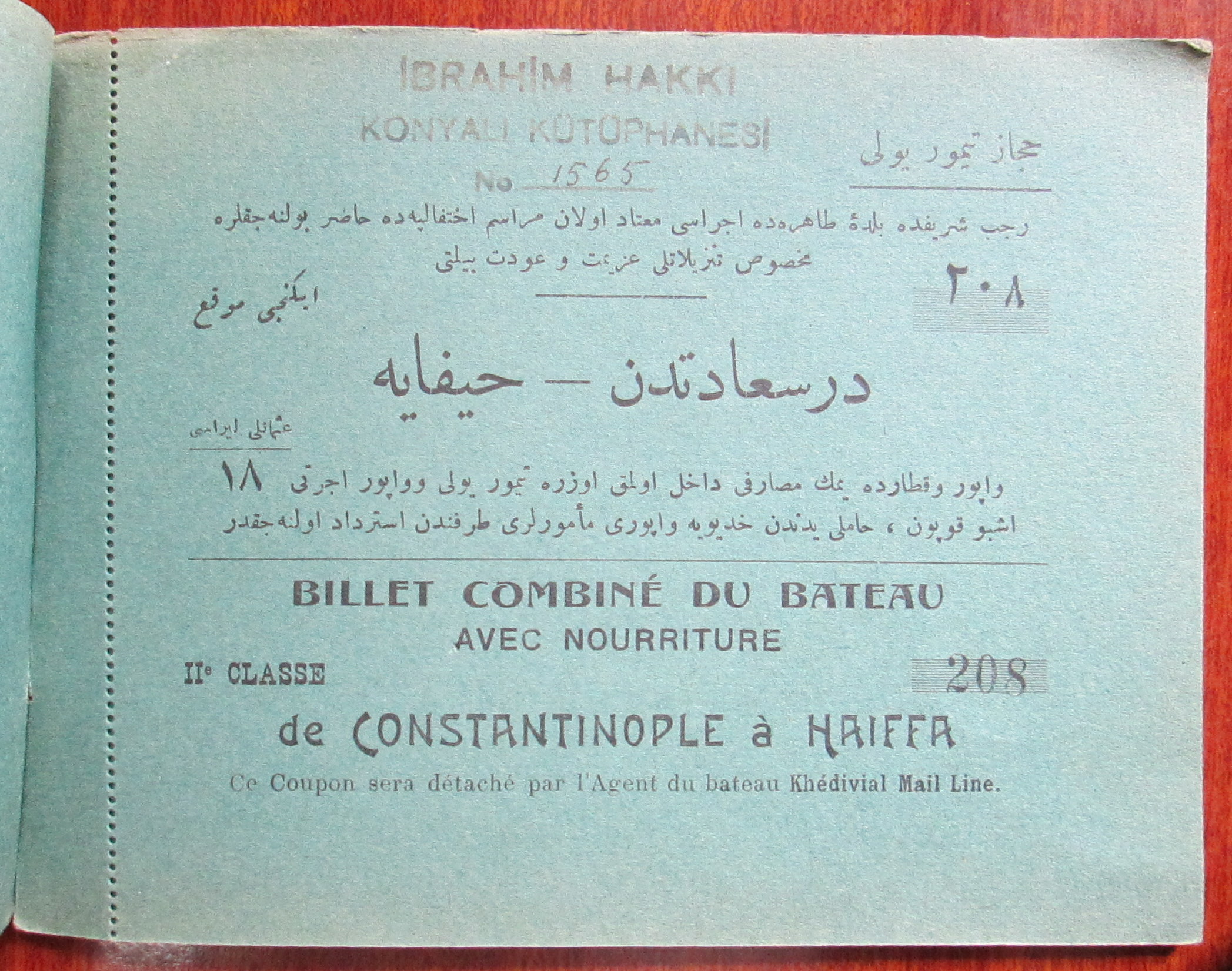
Having posted several maps showing the Hicaz Railway in the past, we thought we should also post this Hicaz Railway ticket that was preserved in the Ibrahim Hakki Konyalı archive (#1565). It's in the form of a small booklet, with four detachable tickets covering each stage of the journey. First by French mail-ship from Istanbul ('Der-i saadet' in the Ottoman) to Haiffa. Then by train to Medina (the ticket for this leg, of course, needing no French translation), then back along the same route. Food was included!


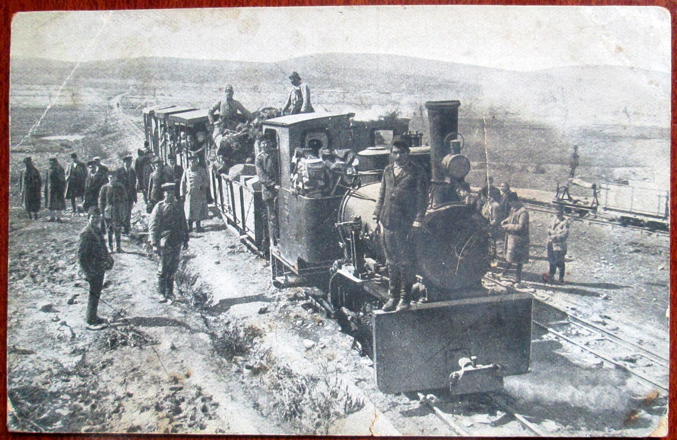
The picture is from a German postcard printed during WWI. See the rest of the ticket after the break: