Afternoon Map just launched its own Facebook page! Like us to see more maps or follow us on twitter @NicholasDanfort.
Wednesday, October 2, 2013
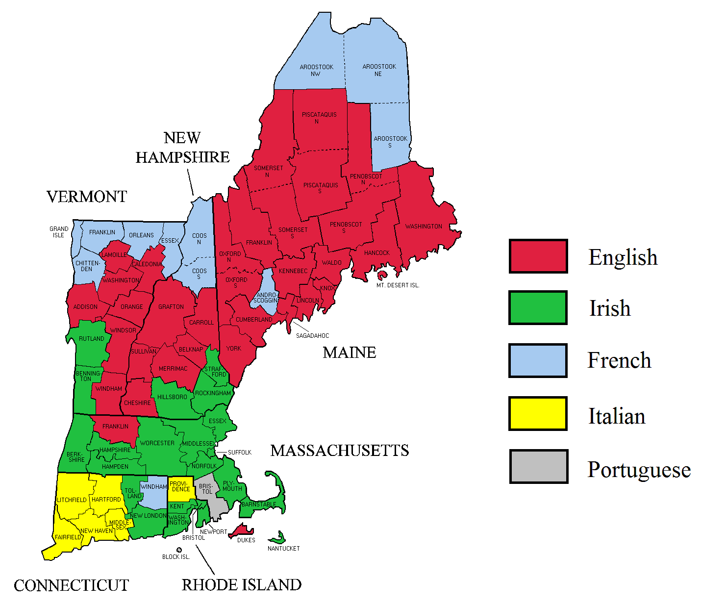
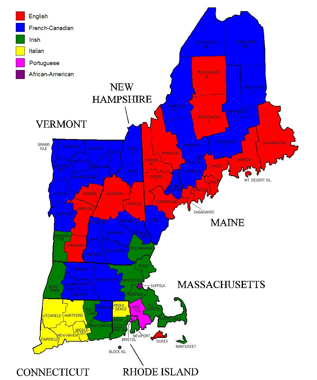
Ethnic Maps of New England
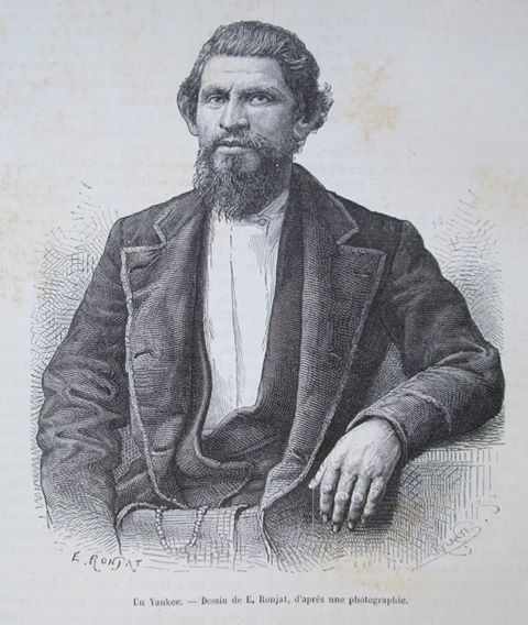
These maps offer a nice perspective on the ethnographic maps we've been looking at for the past week. On one hand, they reveal some undeniably fascinating dynamics, as anyone else who grew up in a French Canadian part of New England knows. At the same time, if you arrived in the Northeastern United States thinking that these maps actually revealed the region's defining political dynamics you would be profoundly misled. It's also interesting to see how the existence of different kinds of ethnographic data can lead to remarkably different looking maps. The one to the left was based on 2000 census data that treated "French," "French-Canadian," and "Canadian" as different groups, and thus shows "English" as a majority in areas that then become French-Canadian on the right when these three categories are collapsed together. Finally, the picture on the left is "Un Yankee" as shown in a late 19th century French geography book. After years of seeing ethnographic sketches labelled "The Albanian" or "A Typical Balooch," it's nice to finally see someone who looks like me.