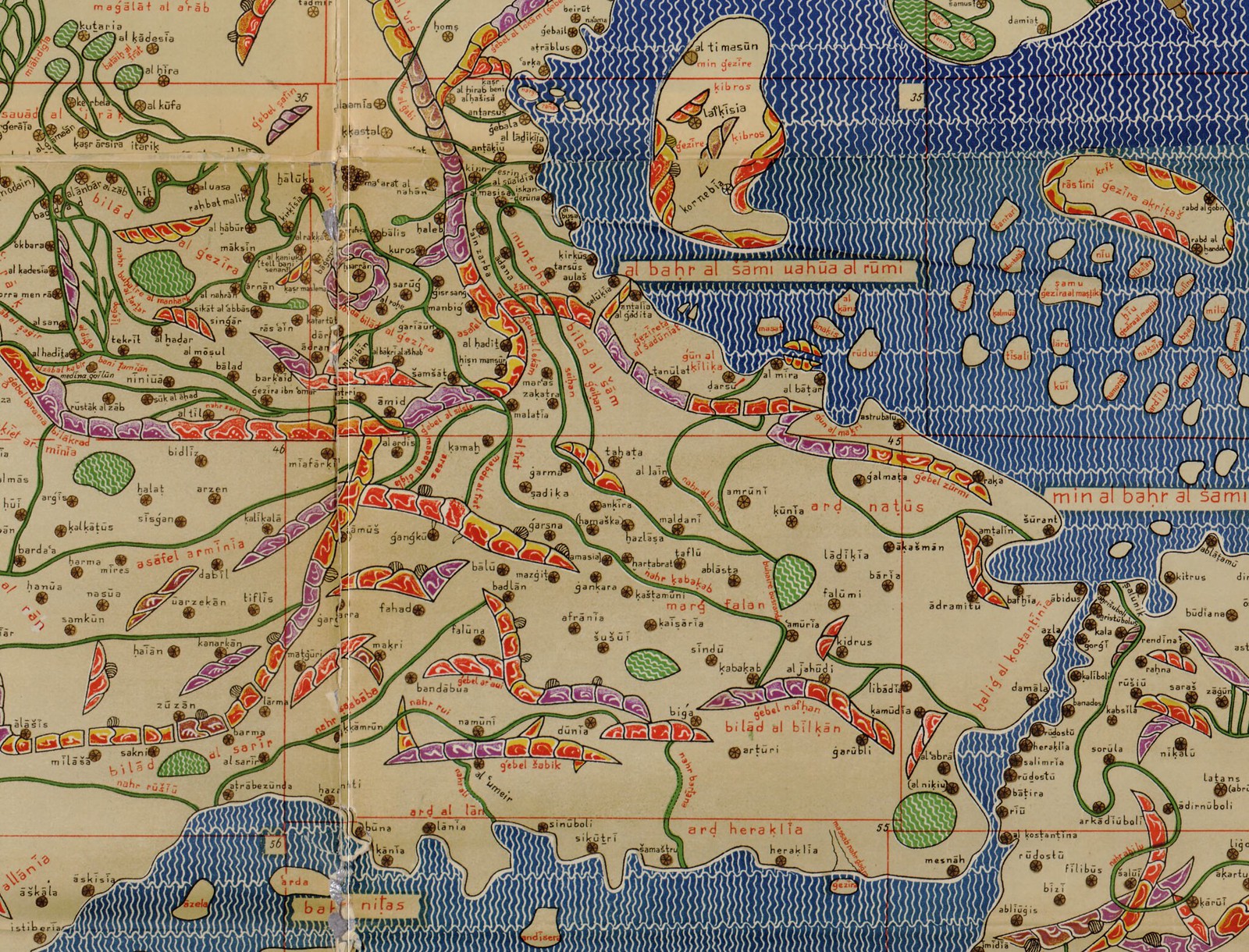
Usually we go for more recent maps, since I don't really know that much about the old ones, but I wanted to post a highlight from this particularly striking map of the known world in 1154 (full map here). I'm not going to pretend I have much more insight on it than can be found on wikipedia. Interestingly, though, it was made Arab geographer Muhammad al-Idrisi for King Roger II of Sicily, one of the Norman lords from Northern France who conquered the island from the Saracens in the 11th and 12th centuries. As such it is labelled with Arabic names in Latin script and oriented with south up, as was standard in maps from the Arab/Muslim Mediterranean. (This is actually a 19th century reproduction, but the original used a slightly different mix of latin and arabic as well) The work itself is also known by the Latin name of the crusader king who commissioned it, the "Tabula Rogeriana," or the Arabic Kitap Rujar (as well as, more officially, "uzhat al-mushtāq fi'khtirāq al-āfāq," meaning the book of pleasant journeys into faraway lands). Many people are fond of reminding us that maps and the process of their creation almost always embody power relations. But the flip side of that, as this map shows, is that the ambiguities of these power relations can often create unexpected moments of syncretism. 11th century Italy saw an ever changing combination of Byzantine generals, Norman Lords, German Kings, the Pope and Saracen warriors battling for wealth and power in a confusing free-for-all that prefigured the that was the crusades. This map represents that chaotic melee nicely.
For more information on Normans, if not necessarily this map, check out just about any book by R. Allen Brown.


