


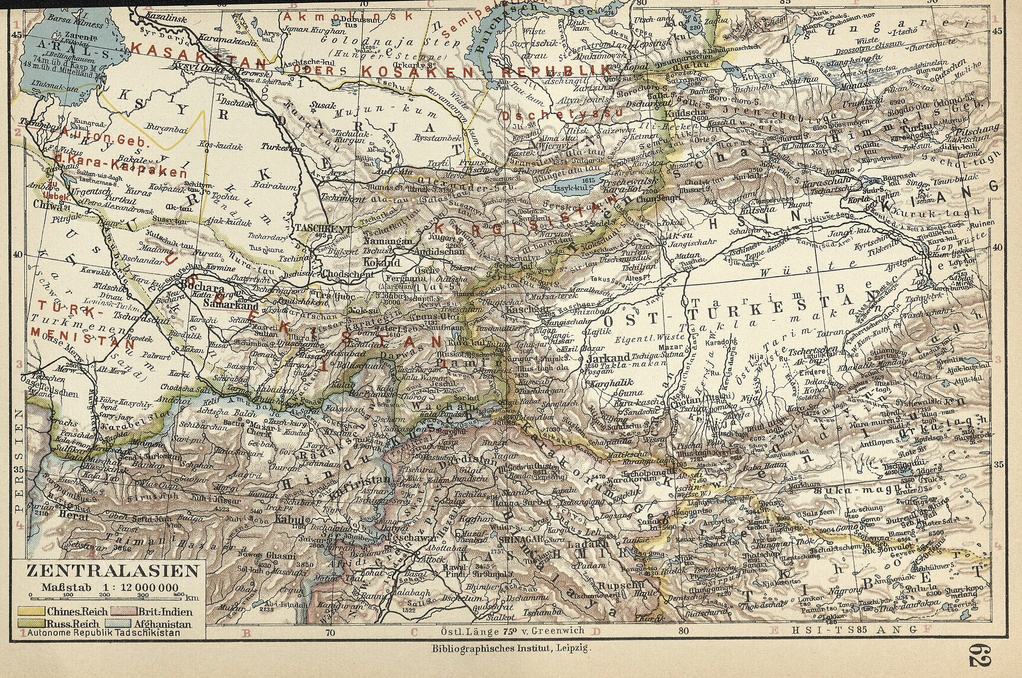
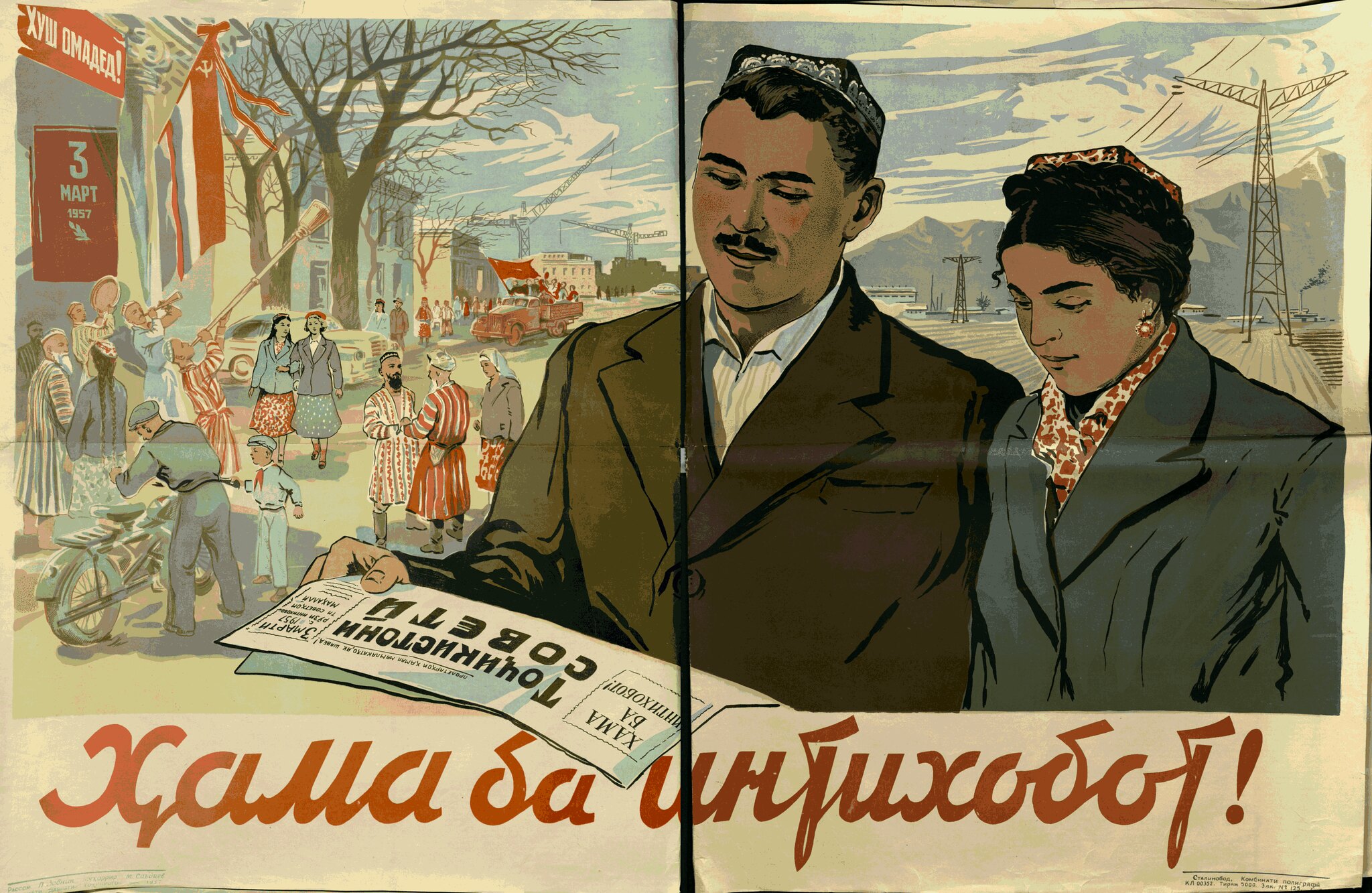
A map that finally captures the confusion of the 1920s Soviet national delimitation in Central Asia, with the names of the region's new states super-imposed in red over an older map of the area. Even more exciting, it shows the region at the moment that Tajikistan has been upgraded to the status of full republic and the map-makers can't even find space to write its name in. Anyways, if you're interested, check out our short paper on the delimitation or a nice bit of 1950s Soviet Tajik propaganda.